No specific info about version 2.0. Please visit the main page of OptGeo on Software Informer.
Workflow solution for geological modelling.
It can analyze and trace all network applications on the fly
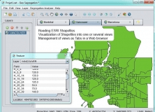
An open-source program that can read ESRI Shapefiles.
Plot geotagged images in a selected folder on a virtual globe
Modify and test even the smallest detail of an audio output tube.

Comments